Geological mapping & targeting
Desktop compilation, remote-sensing interpretation, field mapping, structural thinking and target ranking.
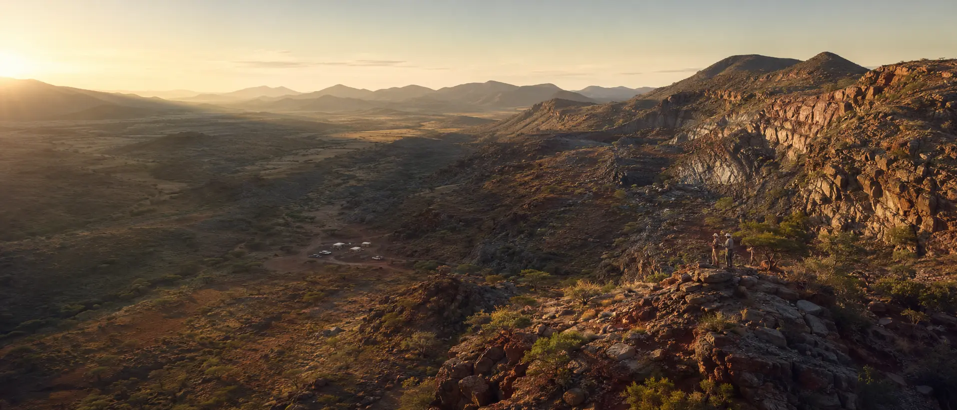
Lomirok’s capability model combines disciplined internal coordination with specialist geological, engineering, laboratory, environmental, legal and financial partners.
Desktop compilation, remote-sensing interpretation, field mapping, structural thinking and target ranking.
Fit-for-purpose sampling plans, custody controls, laboratory coordination, QA/QC review and interpretation.
Safe mobilisation, logistics, contractor coordination, data capture and daily field controls.
Programme design support, competent supervision, geological logging, core handling and data integrity.
Structured inputs to scoping, environmental, infrastructure, market and investment decisions.
Technical collaboration, research, laboratory, technology, financing and responsible market pathways.
Start with the business or technical decision the work must support.
Match qualified people and specialist partners to the required standard.
Approve scope, safety controls, data standards, evidence and reporting lines.
Use appropriate technical and legal review before relying on material results.
Document assumptions, uncertainties, decision and authorised next step.